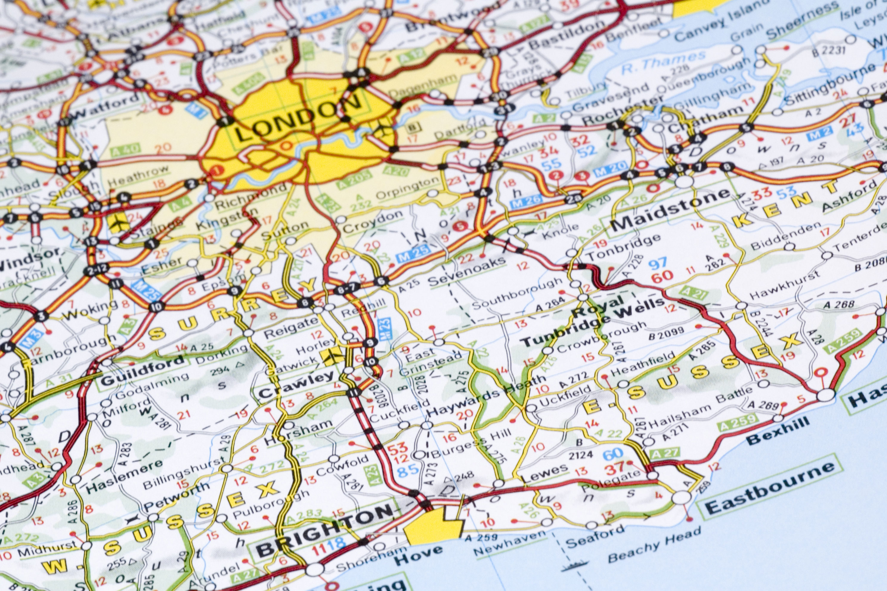
Ordnance Survey maps free for all from today
OS OpenData initiative sees maps made completely free for personal or commercial use in latest step in Government's 'Making Public Data Public' plan.

Mapping agency Ordnance Survey is offering free and unrestricted access to many of its maps for the first time from today.
For the first time in the OS' history, individuals or companies can now download, use or copy mid-scale maps, as well as access related data on electoral or local authority boundaries and postcode areas.
The OS OpenData initiative is to be launched today by Communities Secretary John Denham, who says he is optimistic it would attract "a new wave of entrepreneurs" to use the mapping data in new and innovative ways.
"This shows the UK is at the cutting edge of a digital revolution," Denham said. "The move to free up public data encourages fresh thinking people re-using information in different and more imaginative ways than may have originally been intended."
"A seemingly endless stream of new applications and websites continues to show the potential of combining information, creative vision and digital technology," he added.
"Increasing access to OS data will attract a new wave of entrepreneurs and result in new solutions to old problems that will benefit us all. It will also drive a new industry, creating new jobs and driving future growth."
Internet founder Sir Tim Berners-Lee said: "I'm delighted that the Ordnance Survey is releasing this data for free re-use. It will help people make fuller use of other Government data on data.gov.uk, as well as stimulating innovation in mapping itself."
Get the ITPro daily newsletter
Sign up today and you will receive a free copy of our Future Focus 2025 report - the leading guidance on AI, cybersecurity and other IT challenges as per 700+ senior executives
The initiative marks a radical change in how the OS operates. Until now, every piece of map data has come at a cost except for small amounts of data made available for experimental applications. In the past, people have used this limited amount of free data available via OS OpenSpace to create safe cycling and rambling routes, and create maps of local post and phone boxes.
OS OpenData is part of the government's "Making Public Data Public" initiative launched by Prime Minister Gordon Brown last November.
-
 Google faces 'first of its kind' class action for search ads overcharging in UK
News Google faces a "first of its kind" £5 billion lawsuit in the UK over accusations it has a monopoly in digital advertising that allows it to overcharge customers.
By Nicole Kobie
-
 Neural interfaces promise to make all tech accessible – it’s not that simple
Column Better consideration of ethics and practical implementation are needed if disabled people are to benefit from neural interfaces
By John Loeppky
-
 TikTok to open first European data centre in Ireland
News The move could signify a desire to shift its operations away from the US as well as secure its position in the European market
By Sabina Weston
-
MPs in a muddle over GDPR and storing voters' personal data
News Labour MP Chris Bryant says his staff were told to delete constituents' data
By Bobby Hellard
-
 Trump resort will not be charged for breaching data laws
News Presidential hopeful's Scottish golf course failed to register under the Data Protection Act for four years
By Adam Shepherd
-
 Banks urged to share data but warned over security
News Experts voice concern over security of open API recommendations
By Rene Millman
-
 EU centralises European open data through one portal
News Open Data Portal will enable public sector bodies to share information
By Rene Millman
-
 Experts question sheer scale of data storage required by Snooper's Charter
News Who will foot bill for physical infrastructure to house UK's browsing histories?
By Jane McCallion
-
 Snapchat's T&Cs update could put user data at risk
News Kaspersky said giving the service permission to share pictures with third parties could lead to a serious breach of privacy
By Clare Hopping
-
 Transport Systems Catapult launches data sources catalogue
News Intelligent Mobility Data Index could push forward smart transport innovation in the UK
By Caroline Preece