Mapping an entire country: Meet Singapore’s digital twin
Digital twins are the future of urban planning – disclosing insights we could have once only dreamed of


It’s impossible to see the future, but modelling potential outcomes is powerful. Want to know how a driverless car will perform on a specific street in rare weather conditions or how an individual will react to a new drug or the impact of a larger train station on a city’s travel habits? You could wait and see – or you could ask a digital model to tell you.
Singapore is choosing the latter when it comes to everything from weather to solar panels to 5G rollouts. The country is the first to edge towards something approaching a so-called digital twin, in which all of Singapore is represented digitally to act as a starting point for virtual modelling – and perhaps even a reality-based metaverse.
Before zipping over to Singapore to examine how the island nation made a digital copy of itself, it’s worth taking a closer look at what we mean by digital twin. The idea originated in space engineering, with NASA attempting to test its spacecraft designs in extreme situations before they hurtled off the planet. In product design, a digital twin can be straightforward, a simple 3D virtual model of an object to better understand manufacturing, for example.
For training driverless cars, a virtual vehicle can be placed into the digital version of a city; the virtual twin of the car can then ‘drive’ through a simulation of scenarios it might not experience in its lifetime on actual roads. For healthcare, a virtual version of a person could reveal how personalised treatments impact the real patient. And with a city or a country, a digital twin offers a safe sandbox to model changes to weather, the impact of transport tweaks, and anything else urban planners would like to consider without high costs or major disruption.
However, capturing every detail of an entire country – even a city-sized one – is no easy task, and it’s even more difficult to keep the data up to date. Indeed, it may not ever be truly possible. After all, having slightly incorrect or old data could skew an outcome, leading city planners down the wrong path if they rely solely on a twin. As with any technology, a virtual twin is a tool to aid, not replace, human thinking.
Mapping Singapore
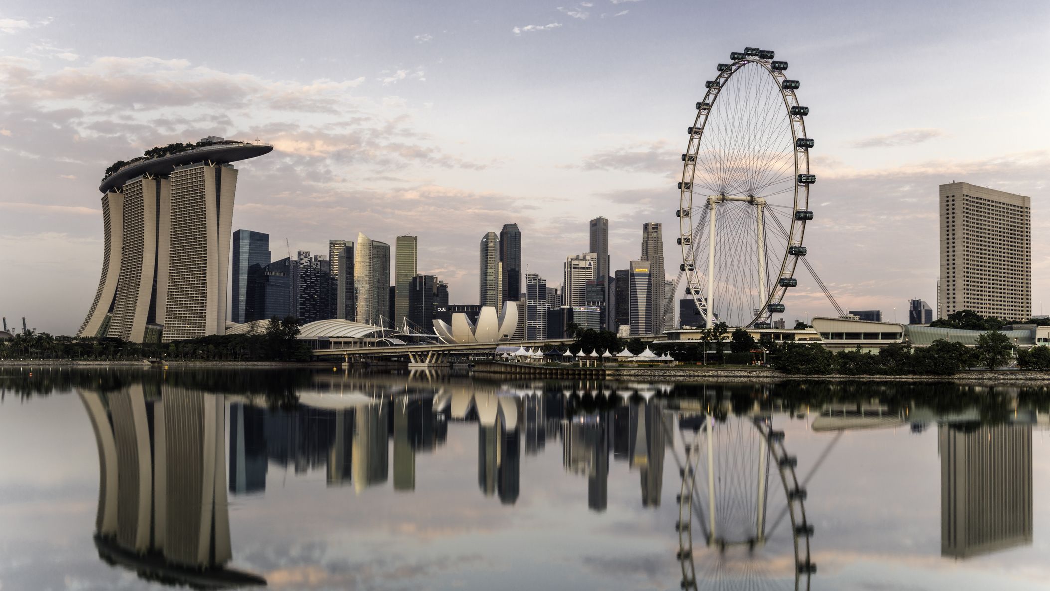
As an island nation, Singapore is used to flash floods, but torrential rain in 2011 caused a series of damaging floods throughout the year, prompting the country to look at ways to fight back, especially with the worsening impact of climate change likely to exacerbate the problem. Alongside that challenge, local authorities had another problem: Singapore is a tiny nation with a dense population, meaning land use needs to be carefully considered. It’s pertinent especially with regards to why Singapore temporarily stopped building data centres, for instance.
To help figure out the regions most at risk from flooding, and better use scarce land, the Singapore Land Authority (SLA) created a 3D map of the entire country in incredible detail down to a tenth of a metre; it’s possible to see road lane markings. That first programme began in 2012, with aerial data collected in 2014 and again in 2019 to update the existing dataset.
Get the ITPro daily newsletter
Sign up today and you will receive a free copy of our Future Focus 2025 report - the leading guidance on AI, cybersecurity and other IT challenges as per 700+ senior executives
The aerial data collection isn’t just about photos. Aircraft also carry LIDAR sensors that send out a laser pulse to capture 3D information such as the height of buildings. That extra data is necessary because Singapore has so many trees. “The ability for the laser pulse to penetrate through canopy is critical for Singapore,” says Teo Hui Ying, senior principal surveyor in SLA’s Survey & Geomatics Division, noting 47% of the country is covered by trees. “It allows us to generate a more accurate terrain map for the nation” than if trees were allowed to get in the way.
Plus, laser scanning can also be used within buildings, giving the dataset internal properties for some state buildings. “With the point clouds you can get a visualisation of a staircase in a building,” she says, or underground subway stations, a project the group is just starting to trial. The idea is that underground and above ground models could be combined to help map utilities and tunnels. After all, what makes up a city isn’t just what’s above ground and visible.
There’s another way to capture 3D data, notes Teo. The aircraft take photos vertically, looking straight down, but also at an oblique angle. “One aircraft model actually captures five images with very little exposure,” she explains. “That allows us to create realistic building models… and replicate the real world environment in 3D to facilitate simulation and analysis.”
RELATED RESOURCE

Organisations accelerating their digital workplace achieve improvements
See the biggest return on device investments
Alongside that, beginning in 2015, the SLA began mobile mapping, with a camera mounted on a car, akin to what Google does with Street View. “It’s mounted on a vehicle that goes through public streets in Singapore capturing point clouds in 360-degrees,” said Teo. “This helps complement the ground information as airborne mapping has limitations.”
While that map was impressive, the two years required to collect the data and pull it all together meant it was already out of date, sparking a search for ways to more quickly update the imagery. In 2019, the country turned to infrastructure solution developer Bentley Systems’ mapping and digital twin software to organise images taken at street level as well as overhead. In all, 25 terabytes of data was collected over 41 days, including 160,000 high-res aerial photos, in order to create a digital map of Singapore that’s accurate to 10cm. In all, it took eight months – much faster than the previous effort but also more detailed and significantly cheaper at £19.5 million under budget.
Use cases for a national digital twin
Singapore built the map with a few key use cases in mind – notably land management and flood avoidance – but the aim was to create a product that could be used by multiple agencies in different, unexpected ways, including a terrain and obstacle map for flights in the area, national park tree mapping, and even future 5G deployment. “With the approach developed once, used by many, we aim to create reliable, high resolution and consistent data to meet multiple agencies’ requirements,” she says, stressing the importance of open standards for future data sharing.
For example, this detailed map was used to build a model to help plan solar energy rollouts, helping the government decide where to put solar panels. Researchers were able to discern where on a specific building’s rooftop a panel should be placed to optimise energy collection. “The map helps Singapore find out which buildings can harness solar potential the most,” she says.
Other ideas include building design, to see how a new development will impact existing structures. “3D building models have a lot of urban use cases,” she said. “If there is a new development, we can see how it will affect the surrounding area in terms of shadows, for example.”
Plus, such a detailed map can be used to help autonomous vehicles navigate the country, easing the rollout of driverless cars and other robotics. “High resolution street maps are something that is in progress and we are looking at targeting the autonomous vehicle and robotics industry,” she says, saying another future use case could be managing traffic of unmanned aerial vehicles, such as drones. “With testing UAV delivery and so on, you need very accurate 3D maps to ensure that the unmanned aerial vehicles are able to do their take-off and manoeuvres.”
And then there’s the metaverse. The tech catchphrase of the moment – thanks in large part to Facebook rebranding as Meta – means a digital map in 3D of a city, including interiors of buildings, could one day be visited by our avatars. “It’s something we’ve started to look at recently, and we’re working on small pilots with our 3D mapping data,” Teo says.
This multipurposing means the data must be shared between agencies, which is more complicated than it sounds. Not only are the data sets huge, meaning it’s not trivial to download or replicate, but they’re sensitive in terms of national security. “This mapping exercise takes in the whole of Singapore and there are a lot of security facilities,” she explained. Because of that, “all of the processing is done in a secure area.”
Instead, the data is hosted in the cloud, where it can be accessed and used. Plus, that means the SLA can generate smaller slices of data, such as a topographic map of an area, for a specific use case. “It seems very silly to actually pass the dataset to them because it contains more than 20TB of data,” she added.
Does a digital map make for a true digital twin?
While impressive – and handy – is this project an example of a highly detailed digital map or a true digital twin? What makes the latter is the ability to be updated, but this system still takes months to do so, meaning it’s inherently out of date. “We mention this as a digital twin, but at the same time we have to humbly say that we may not be there yet,” she says. “We are still in a development stage.”
She admits it’s a question of semantics, with some in the industry arguing a digital twin needs live data. “At the moment, ours is very much a snapshot,” she says. “What we have captured is a moment in time.”
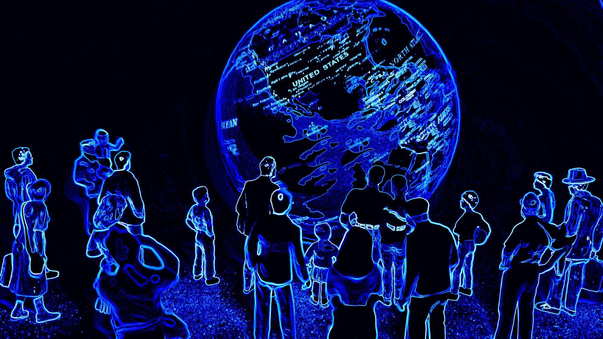
The advent of real-time sensors and live cameras could change that, says Teo, but that’s no easy task. “We keep a lookout on new technologies that evolve with time,” she says. “Remote sensing would allow us to find out changes in between times when we fly. We can’t fly every year so we would need to adopt other technologies to help us detect the changes.”
And that’s just the technology to gather the data. In addition, the SLA would need software to manage the new data and compare for changes. Teo explains the aim is to use automation more in the future to build models out with less human intervention.
That’s why city or country-wide digital twins won’t be common anytime soon – they’re hard work. Instead, digital twins are more likely to be developed for specific pieces of infrastructure. Bentley Systems has created digital twins for a route upgrade for the Transpennine train line, a Chinese solar plant, and bridges in Minnesota, for example.
RELATED RESOURCE
Still, cities are pushing ahead with the idea of capturing every nook and cranny in order to improve planning. Orlando, Florida is working with gaming giant Unity on a 3D model of the city to be used to showcase the region to investors, as well as urban planning, and Las Vegas unveiled at this year’s CES the first stage of a digital twin project with Cityzenity to help boost sustainability efforts. While it’s so far limited to a small area of its downtown core, unlike Singapore this is a live model with real-time data collected through sensors watching traffic, air quality and more.
It’s clear digital twins, be they city wide or limited to a specific infrastructure set, can help urban planners, but more data more often will be needed first. Singapore’s combination of aerial photography and LIDAR paired with street-level scanning shows one way forward, but the next step is sensors to automate updating the dataset. Then Singapore could truly be the world’s first country with a digital twin, enabling digital cars, drone deliveries and the metaverse – in short, letting all the future tech we keep talking about finally actually happen.
Freelance journalist Nicole Kobie first started writing for ITPro in 2007, with bylines in New Scientist, Wired, PC Pro and many more.
Nicole the author of a book about the history of technology, The Long History of the Future.
-
 Cleo attack victim list grows as Hertz confirms customer data stolen
News Hertz has confirmed it suffered a data breach as a result of the Cleo zero-day vulnerability in late 2024, with the car rental giant warning that customer data was stolen.
By Ross Kelly
-
 Lateral moves in tech: Why leaders should support employee mobility
In-depth Encouraging staff to switch roles can have long-term benefits for skills in the tech sector
By Keri Allan
-
 Future focus 2025: Technologies, trends, and transformation
Whitepaper Actionable insight for IT decision-makers to drive business success today and tomorrow
By ITPro
-
 Digital transformation in the era of AI drives interest in XaaS
Whitepaper Driving the adoption of flexible consumption XaaS models
By ITPro
-
 Modernize your mainframe application environment for greater success
Whitepaper Successful modernization strategies require the right balance of people, processes, technology, and partnerships
By ITPro
-
 B2B Tech Future Focus - 2024
Whitepaper An annual report bringing to light what matters to IT decision-makers around the world and the future trends likely to dominate 2024
By ITPro
-
 Let's rethink customer service
whitepaper Discover new ways to improve your customer service process
By ITPro
-
 The power of AI & automation: Productivity and agility
whitepaper To perform at its peak, automation requires incessant data from across the organization and partner ecosystem
By ITPro
-
 The guide to digital worker technology to improving productivity
whitepaper Learn how to turn your workforce into a talent force
By ITPro
-
 Operational efficiency and customer experience: Insights and intelligence for your IT strategy
Whitepaper Insights from IT leaders on processes and technology, with a focus on customer experience, operational efficiency, and digital transformation
By ITPro